Skip to content
Open Menu
Analisis Informasi Geospasial
Tutorial Instal ArcGIS dengan Evacode
Proximity Analysis
Tutorial Proximity Analysis Feature-Based Tools pada ArcGIS
Tutorial Proximity Analysis Raster-based Tools Pada ArcGIS
Tutorial Pembuatan Kontur Menggunakan DEM-SRTM 30
Tutorial Pembuatan Fishnet – Extract Multi Value, Tin, Kriging, Hillshade dan Slope pada Software ArcGIS
Penginderaan Jauh Terapan
Pan Sharpening Menggunakan Software ArcGIS dan Envi
Pan Sharpening
Koreksi Radiometrik
Metode 6SV (Seconds Simulation of a Satellite Signal in the Solar Spectrum – Vector)
Metode Apparent Reflectance
Metode Dark Object Subtraction
Metode FLAASH Atmospheric Correction
Perbandingan Landsat Level-2, 6SV, Apparent Reflectance, DOS dan FLAASH
Review Paper
Remote Sensing ITS
Study about remote sensing on sattelite imaging
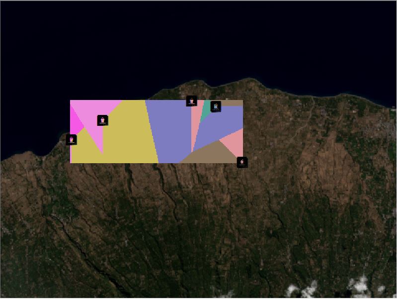
FINAL EALLOCATION 1
September 16, 2018
Firmansyah Maulana
Leave a comment
Post navigation
Previous Post
Tutorial Proximity Analysis Raster-based Tools Pada ArcGIS
Leave a comment
Cancel reply
Δ
Back to top
Privacy & Cookies: This site uses cookies. By continuing to use this website, you agree to their use.
To find out more, including how to control cookies, see here:
Cookie Policy
Comment
Subscribe
Subscribed
Remote Sensing ITS
Sign me up
Already have a WordPress.com account?
Log in now.
Remote Sensing ITS
Subscribe
Subscribed
Sign up
Log in
Copy shortlink
Report this content
View post in Reader
Manage subscriptions
Collapse this bar
Design a site like this with WordPress.com
Get started